Explore Israel’s Geography
A Mediterranean country, Israel is located in southwest Asia between the Mediterranean Sea and the deserts of Syria and Arabia. According to the Israel Ministry of Tourism, the country’s geographical borders are the Mediterranean to the west, the Jordan Valley Rift to the east, the mountains of Lebanon to the north, and Eilat Bay marking the country’s southern tip.
The tourism authorities categorize Israel into three primary regions: the coastal plain, the mountain region, and the Jordan Valley Rift. Additionally, there is the Negev Desert, which is a triangular wedge in the south, with Eilat at its southernmost point.
Coastal Plain
The western coastal plain extends from Rosh Ha-Nikra in the north to the edge of the Sinai Peninsula in the south. This plain is only 2.5 to 4 miles wide in the north, expanding to about 31 miles broader as it moves southward. Notably, this coastal strip is the most densely populated region of Israel. In urban areas such as Tel Aviv and Haifa, you can find fertile soil complemented by several water sources.
Divided into various sections from north to south, the coastal plain comprises the Galilee Plain, the Acre (Akko) Plain, the Carmel Plain, the Sharon Plain, the Mediterranean Coastal Plain, and the Southern Coastal Plain. Beyond the coastal plain lies the lowlands: moderate hills that act as a transition between the coast and the mountains.
The Jerusalem corridor, utilized for road and railway transport, connects the coastal plain to the central Judean hills, leading directly to Jerusalem.
Mountain Region
The mountainous region of Israel stretches from Lebanon in the north to Eilat Bay in the south, situated between the coastal plain and the Jordan Valley Rift. The peaks include the Galilee’s Mt. Meron at 3,962 feet, Samaria’s Mt. Ba’al Hatsor at 3,333 feet, and the Negev’s Mt. Ramon at 3,402 feet above sea level.
This less densely populated mountainous area is primarily composed of stone and rocky terrains. The climate varies, with the northern areas experiencing a Mediterranean and rainy climate, while the south features a desert atmosphere. Key segments include the Galilee, the Carmel, the hills of Samaria, and the Judean hills (part of the Israel-occupied West Bank), as well as the Negev highlands.
Moreover, the mountainous continuum is divided by two significant valleys: the Yizre’el (Jezre’el) Valley, which separates the Galilee mountains from the Samarian hills, and the Be’er Sheva-Arad Rift, which separates the Judean hills from the Negev highlands. The eastern slopes of both the Samarian and Judean hills transition into deserts.
Jordan Valley Rift
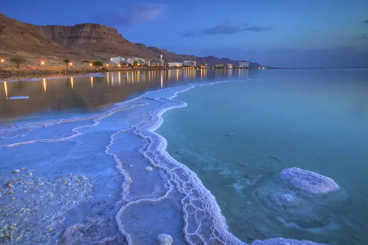
This rift spans the entire length of Israel from the northern town of Metula down to the Red Sea in the south. The rift was formed by seismic activity and is part of the broader Afro-Syrian rift, extending from the Syrian-Turkish border to the Zambezi River in Africa. In this region flows Israel’s largest river, the Jordan, which courses through the Jordan Valley, featuring Israel’s two notable lakes: the Kinneret (Sea of Galilee), the largest freshwater body in Israel, and the saltwater Dead Sea, which is the lowest point on earth.
The Jordan Valley is subdivided into the Hula Valley, Kinneret Valley, Jordan Valley, Dead Sea Valley, and the Arava, each with unique ecological characteristics.
Golan Heights
The hilly Golan region lies east of the Jordan River. The Israeli Golan Heights, which are also claimed by Syria, form the ending point of a vast basalt plain largely found in Syria. North of the Golan Heights is Mt. Hermon, recognized as Israel’s highest peak at 7,315 feet above sea level.


