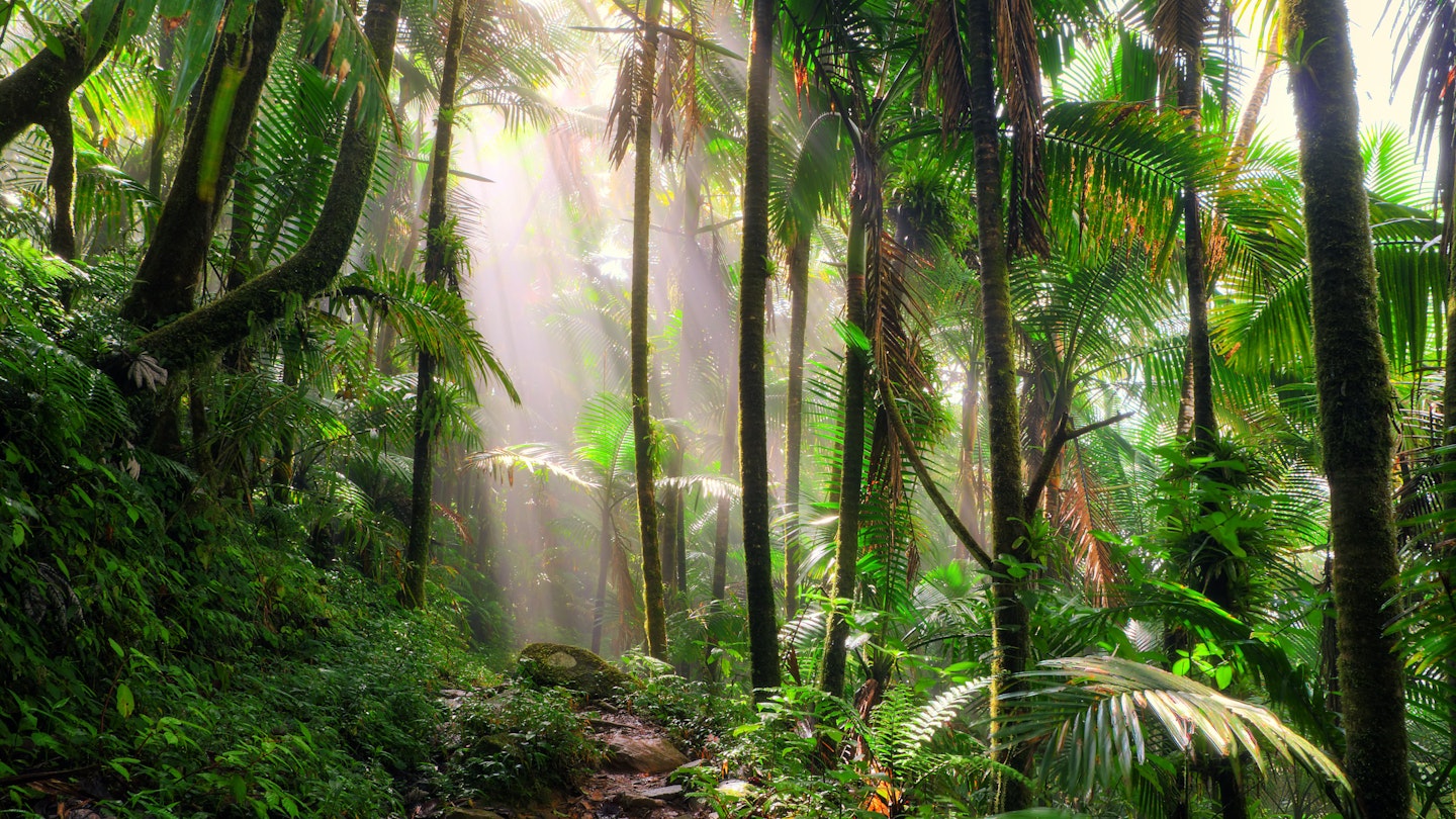
Hiking in Puerto Rico: Discover the Trails with GoTravelDaily
Hiking in Puerto Rico holds a wealth of potential for adventurers. However, the outcomes largely depend on your expectations and willingness to explore independently, often without a detailed map. While Puerto Rico might not be a hiker’s paradise in the traditional sense, its lush scenery and idyllic coastlines provide rewarding experiences for those who venture off the beaten path. Thus, if you’re eager for an adventure, the results can be incredibly fulfilling.
El Yunque Trail – El Yunque National Forest
On a clear day, hiking this 2.4-mile trail with an elevation gain of nearly 1500ft rewards you with stunning views of Vieques and Culebra. The trek begins opposite the Palo Colorado Information Center (currently closed). Hikers will pass mountain-palm trees, cascading waterfalls, and venture into the cloud forest where “dwarf” trees and communication towers await at the observation deck.
For a more challenging climb, take the Los Picachos Trail (0.17 miles) to another observation tower. The diverse route back descends via a service road to the Mt Britton Trail, ultimately returning to Rte 191 and your starting point.

Mt Britton Trail – El Yunque National Forest
If you’re short on time but want to experience a summit, the 0.8-mile (45-minute) climb on paved paths through the sierra palm forest leads to the Mt Britton Tower. The stone lookout offers panoramic vistas over the forest that extends to the Atlantic and the Caribbean.
The trailhead veers off Hwy 191 at Km 13. More adventurous hikers can connect to the El Yunque Trail via the 0.86-mile Mt Britton Spur. This tower, built in the 1930s by the Civilian Conservation Corps, is named after renowned botanist Nathaniel Britton.
Vereda Meseta – Guánica
This scenic trail runs along the coastal area of the Bosque Estatal de Guánica. Following Hwy 333 to its end at Bahía de la Ballena, this wild 4-mile round-trip route is available for both hikers and cyclists, passing by the stunning Playa Tamarindo.
Vereda La Torre – Reserva Forestal Toro Negro
Start at the ranger station in Reserva Forestal Toro Negro and follow the Camino El Bolo trail for about three miles until you intersect a steep trail that winds up to an observation tower with spectacular views. You can return to the Area Recreativa Doña Juana, which is a short walk along Hwy 143.

Los Morrillos Lighthouse – Cabo Rojo
Located at the southernmost tip of Puerto Rico, the Los Morrillos Lighthouse stands at the end of Hwy 301. The lighthouse, with its dramatic cliff formations, offers an observation deck capturing the surreal turquoise waters of Playa Santa and the expansive Caribbean beyond.
Occasionally, volunteers at the lighthouse share insights about the Refugio Nacional Cabo Rojo region, which largely focuses on the nearby salt pans. Although the last part of the road isn’t suitable for vehicles, a brief 10-minute walk from the parking lot brings you to the lighthouse entrance.
Charco Azul Trail – Bosque Estatal de Carite
Despite challenges from Hurricane Maria, the Charco Azul Trail remains accessible. However, upkeep has been lacking since the storm, with bathrooms and camping facilities no longer operational. This popular trail leads to a stunning blue swimming hole located a simple half-mile from Hwy 184, near the southeast corner of the forest.
The swimming area is approximately 15-feet deep and features a rocky bottom. While it can get crowded during summer weekends, it offers a peaceful experience in winter. Beyond the swimming hole, a less maintained trail leads up to the peak of Cerro La Santa (2730ft), the highest point in Carite.
Trail Number One – Bosque Estatal de Guajataca
This trail in the Bosque Estatal de Guajataca features the wondrous Cueva del Viento, which is currently inaccessible. The trail branches from the Interpretative Trail that begins near the ranger station.


