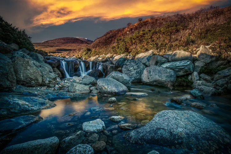
1. Introduction: Discover Ireland’s highest peaks, ideal for hill walking and mountaineering enthusiasts.
2. Overview: Explore the top 10 highest mountains in Ireland, their unique trails, and breathtaking views.
With rolling green countryside and plenty of natural wonders, Ireland is a walker’s paradise. Even though it is better known for its hills, the Emerald Isle does have more challenging peaks to tempt serious mountaineers.
When it comes to the highest peaks in Ireland, the MacGillycuddy’s Reeks range in Co. Kerry tops them all. All in all, Co. Kerry is home to five of the top ten highest mountains in Ireland. However, you can also find tall peaks across the Republic and Northern Ireland, so lace up your walking shoes and be ready to start hiking as soon as the sun comes out.
Just keep in mind: most hillwalking and mountain climbing in Ireland is done at your own risk, and there are not usually any rangers on the lookout. Therefore, be sure to pack enough supplies and let someone know where you are headed and when you expect to be back.
Ready to walk? Here are the 10 highest mountains in Ireland and the best routes to take to hike to the summit.
1. Carrauntoohil, Co. Kerry

Carrauntoohil, located in Coomcallee, Co. Kerry, is the star of the MacGillycuddy’s Reeks, soaring to 3,407 feet (1,038 meters). This mountain is composed of sandstone and features steep ridges that can be challenging for novice hikers. However, those who make it to the summit via the trail known as the “Devil’s Ladder” will be rewarded with breathtaking vistas across the range and a large metal cross that stands at the highest point.
2. Knocknapeasta (Cnoc na Péiste), Co. Kerry

With an elevation of 3,241 feet (988 meters), Knocknapeasta is the fourth highest peak in the MacGillycuddy’s Reeks. While the peaks of Benkeragh and Caher are taller, they do not qualify for the top ten due to their proximity to Carrauntoohil. The name in Irish translates to “hill of the serpent.” To reach the summit, the recommended route is via the Hag’s Glen, starting from the Cronin’s Yard parking lot.
3. Mount Brandon, Co. Kerry

Mount Brandon, standing at 3,123 feet (952 meters), is the highest mountain outside of the MacGillycuddy’s Reeks and is located on the stunning Dingle Peninsula. Named after Saint Brendan, who is believed to have visited the area in the 5th century, Mount Brandon attracts many pilgrims. A popular 5.5-mile route known as the Pilgrim’s Path starts near the village of Cloghane and ascends on a well-marked trail. Moreover, the easiest summit route is the “Saint’s Route” from Ballybrack in the west.
4. Lugnaquilla, Co. Wicklow

Lugnaquilla, located in Co. Wicklow, rises to 3,035 feet (925 meters) within the Wicklow Mountain’s National Park. The peak is the highest in Leinster, and the quickest route to its summit begins at Fenton’s Pub in the scenic Glen of Imaal. The trail, often called the “Tourist Route,” does require caution due to its proximity to a military access road, and the roundtrip hike spans approximately 8 miles. Alternatively, hikers can opt for the 9-mile “Glenmalure Loop” trail.
5. Galtymore, Co. Tipperary and Co. Limerick

Galtymore, with an elevation of 3,012 feet (918 meters), sits on the border of Counties Limerick and Tipperary. The highest peak in the Galty range stretches almost 20 miles from east to west. Moreover, the grassy slopes make for excellent hiking in Munster. The typical ascent also includes a trek along the Black Road Route, summiting neighboring Galtybeg (2,621 feet) before reaching Galtymore — a round trip of about 5.5 miles.
6. Baurtregaum, Co Kerry

Located in the eastern part of the Dingle Peninsula, Baurtregaum is the sixth highest mountain in Ireland, standing at 2,792 feet (851 meters). The name comes from the Irish term Barr Trí gCom, which means “top of the three hollows,” likely referring to the three picturesque valleys surrounding the mountain. The most popular and challenging hike encompasses Baurtregaum and its neighbor, Caherconree, as part of a 7-8 hour loop. This adventure starts outside Tralee via the Curraheen Derrymore Loop.
7. Slieve Donard, Co. Down

Slieve Donard is the seventh highest mountain in Ireland, boasting an elevation of 2,790 feet (850 meters). Located in Co. Down, it is part of the Mourne Mountain range. Consequently, this peak overlooks the Irish Sea just south of the town of Newcastle. Named after Saint Donard, it is known for both the Mourne Wall and ancient burial tombs near its summit. The most accessible trail starts at Donard Park and follows the Glen River on a round trip distance of about 5.5 miles.
8. Mullaghcleevaun, Co. Wicklow

After Lugnaquilla, Mullaghcleevaun is the second highest peak in the Wicklow Mountains, standing at 2,785 feet (849 meters). Begin your hike from the town of Lacken, following the Black Hill route to the summit. Near the peak, hikers will discover Lough Cleevaun, a small lake nestled in a hollow. This feature likely inspired the name of the mountain, as Mullach Cliabháin translates to “summit of the cradle” in Irish.
9. Mangerton, Co. Kerry

Located near Killarney on the outskirts of Killarney National Park, Mangerton is the highest peak of the range with an elevation of 2,749 feet (838 meters). The ascent is characterized by boggy terrain and wild landscapes, thus the “Devil’s Punchbowl Route” is recommended for the 6-mile journey to the summit. Remember that it is best to hike on clear days due to the challenging conditions created by rain and fog.
10. Caherconree, Co Kerry

Caherconree is the tenth highest mountain in Ireland, with a peak elevation of 2,740 feet (835 meters). Situated in the Slieve Mish mountain range, this mountain is surrounded by a stunning landscape in Dingle, Co Kerry. The mountain often attracts visitors who wish to hike it alongside its slightly taller neighbor, Baurtregaum. The region is steeped in Irish folklore, featuring an ancient fort on its southeast face that lends its name to the peak.


