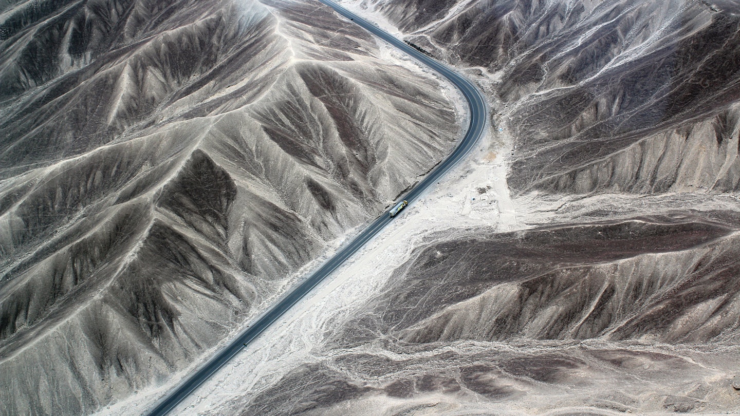
Ask your friends what their idea of a cool road trip is, and you’ll receive some remarkable suggestions. From driving through the South of France in summer in a convertible to experiencing a safari in Africa in a jeep, or cruising down Route 66 from Chicago to Los Angeles, the options are tempting.
However, you can elevate the conversation by mentioning the Mother of all Road Trips – the Pan-American Highway (PAH). Stretching from the top of Alaska to the tip of Tierra del Fuego, this epic journey is an awe-inspiring adventure that will undoubtedly impress every travel enthusiast.

History of the Pan-American Highway
In 1889, during the First International Conference of American States, the USA suggested enhancing connections with its neighbors via a continent-spanning railroad. However, this notion did not yield immediate results. Yet, at the Fifth International Conference held in Chile in 1923, the idea of a Pan-American Highway resurfaced, garnering enthusiasm from participating nations. Its ultimate approval occurred at the sixth conference in Cuba in 1928.
The original suggestion proposed a highway starting in Mexico and heading south to Buenos Aires. Notably, financial support from the United States proved essential for the highway’s development, albeit without an official portion traversing US territory.
Establishing the PAH was a gradual process fraught with challenges such as war, financial constraints, and limited governmental cooperation. Nevertheless, it is now feasible to navigate the length of the Americas (more or less) by vehicle.
The Route
To begin with, it is essential to understand that there is no singular route. The original and officially recognized highway stretches from Laredo in northern Mexico to the Argentine capital, Buenos Aires. However, numerous branches facilitate a journey that spans an impressive total of 30,000 miles/48,000 km, covering a vast arctic to almost Antarctic distance.

North America
Starting at Prudhoe Bay in Alaska is the recommended approach when traveling north to south. From this point, the PAH advances into Canada, where several routes extend further south into the United States.
When examining the route, it becomes clear that the federal government of the United States has designated ALL interstate roads as part of the Pan-American Highway. Consequently, our map highlights the most scenic north-south freeways connecting with the main and officially recognized PAH in Mexico, showcasing spectacular landscapes, charming small towns, and iconic cities such as Los Angeles, Las Vegas, and San Diego.
The original Pan-American Highway commences in Laredo, Mexico, just across the border from San Antonio in Texas, and continues to Mexico City. An alternative route traces Mexico’s western coastline before merging with the original road in Mexico City.

Central America
The PAH traverses every Central American capital, excluding Honduras’ Tegucigalpa (which the route passes just 60 miles/100km south of), until it reaches an impassable section known as the Darien Gap. This area, characterized by mountains and jungle spanning approximately 50 miles/80km, lies between Panama and Colombia.

Environmental concerns and local opposition have consistently hindered road development in this area. Consequently, this segment can only be crossed by air, with vehicles being transported separately in shipping containers. It is inadvisable to traverse the region by bike or on foot due to difficult terrain and potential threats posed by smuggler gangs.

South America
The PAH resumes in Turbo, Colombia, heading south along the western flank of South America. It traverses Ecuador (notably, the capital Quito) and Peru (with a focus on the capital Lima) before advancing into Chile. In this region, a branch leads to Quellón, while the main route continues into Argentina and towards Buenos Aires.

Furthermore, another branch diverges towards Uruguay and north into Brazil, passing through São Paulo en route to Rio de Janeiro. Conversely, travelers eager to reach the southernmost point of the PAH may head in the opposite direction to explore the breathtaking natural beauty of Patagonia and ultimately arrive at Ushuaia, situated on the main island of Tierra del Fuego, at the southern tip of the planet.


