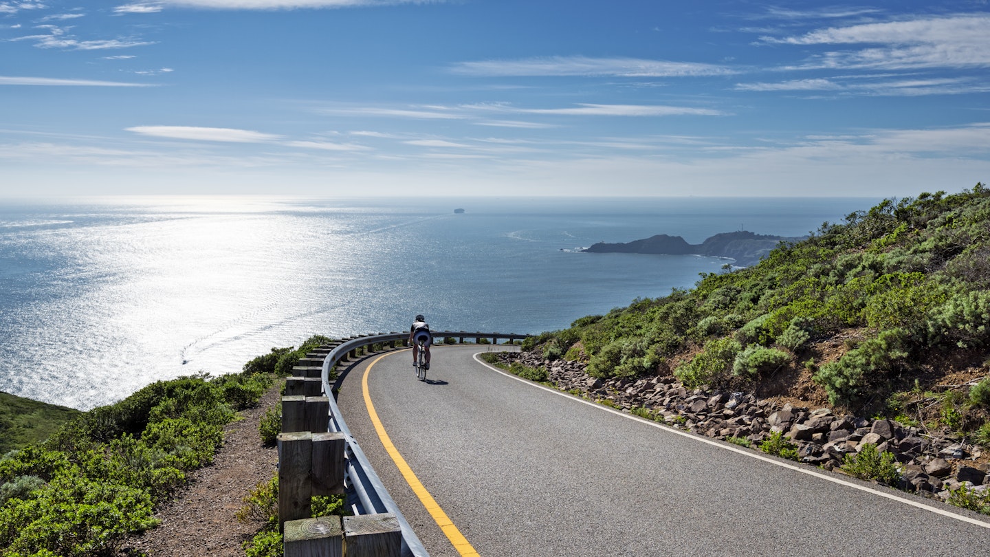
Expansion of the US Bicycle Route System
The US Bicycle Route System (USBRS) — a national interstate network connecting urban and rural communities on designated bike paths — has recently expanded its reach to 29 states, with over 500 miles of new routes added in California and Wisconsin.
Growing Popularity of Cycling
During the pandemic, cycling has skyrocketed in popularity, leading cities and towns to rethink their street usage. In California and Wisconsin, officials, alongside local cycling communities, have partnered with the USBRS to utilize several off-road trails. They have successfully connected Milwaukee to the Mississippi River at Bluff Siding and linked Lake Tahoe with an existing bike path in Nevada, creating a seamless route to the San Francisco Bay Area. Consequently, the designation of these new routes will provide cyclists with over 500 miles of safe, signed paths, enhancing the overall accessibility of the USBRS.

California’s New USBR 50 Path
In California, the 233-mile USBR 50 path begins in South Lake Tahoe at the Nevada border. Cyclists will navigate over mountain passes, following the historic Mormon Emigrant Trail before rolling through the stunning Sierra Nevada on the El Dorado Trail, the paved route amidst the state’s historic Gold Rush country. Following this, cyclists will experience over 30 miles of car-free cycling from Folsom to Sacramento, eventually reaching Lagoon Valley Park and entering the San Francisco Bay Area.
This new bike path not only offers scenic recreational routes but also forges connections between two significant communities in El Dorado and Sacramento counties. According to Mike Bean, a board member of Friends of El Dorado Trail, “Long term, I hope we can improve USBR 50 to serve not only visitors to the county, but local residents cycling for recreation, biking to work, and running errands by bike.”

Wisconsin’s Cycling Experience
In Wisconsin, cyclists are invited to traverse 269 miles of forests, vibrant urban areas, and rugged landscapes of the Driftless Region. Craig Thompson, Wisconsin Department of Transportation (WisDOT) secretary-designee, stated, “Establishing this route has been years in the making, and it’s a great accomplishment for the state. More than 70 communities in eleven counties collaborated to create this vital transportation corridor that will benefit local, regional, and national cyclists.”
Expansive Network of the USBRS
The USBRS currently boasts an impressive 14,598 miles of bike routes throughout the United States, connecting cyclists to picturesque pathways in over 100 National Park sites, such as Mammoth Cave National Park and Casa Grande Ruins National Monument. At least 40 states are in the process of developing additional routes, and once fully complete, the USBRS will be the largest bike network in the world, providing safe passage for cyclists of all ages and abilities across the country.
Plan Your Next Cycling Adventure
If you’re eager to explore the open road this fall, you can access digital maps for all designated US Bicycle Routes for free here from the Adventure Cycling website, a nonprofit organization that provides national coordination for the USBRS.


