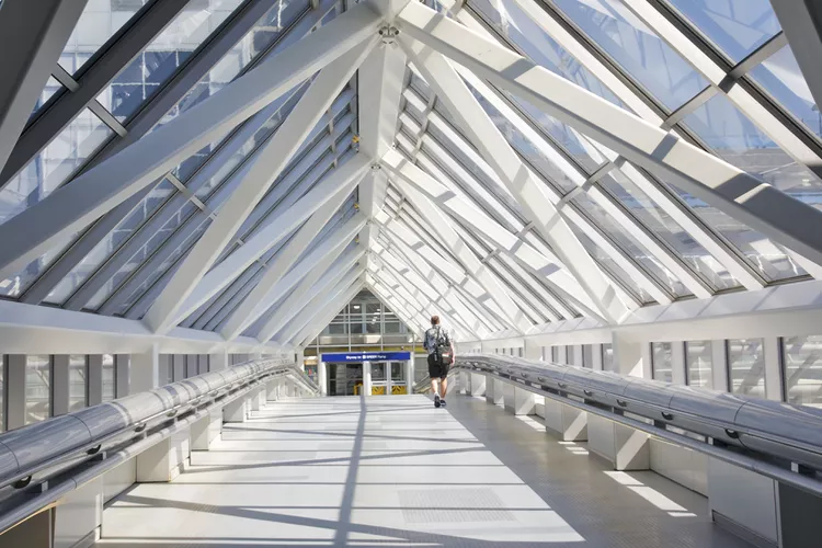
Summary of St. Paul Skyway System
If you’re planning a trip to St. Paul, you should familiarize yourself with the city’s pedestrian transportation system before arriving. The city hosts two skyways located in the Twin Cities, specifically in downtown St. Paul and downtown Minneapolis. These skyways form an interconnected network of buildings and attractions.
St. Paul’s skyway system links 47 city blocks and spans five miles, making it one of the most extensive systems globally. One of the most significant advantages of this pedestrian system is that not only can you avoid driving or using public transportation, but you also don’t have to contend with the harsh Minnesota climate.
Introduction to the Skyways
Although the glass skyway tunnels are easily recognizable to anyone traveling downtown, gaining entry into the system is not as straightforward as it appears. Certain buildings are marked with “Skyway Connection” signs, but it’s often assumed that visitors are already familiar with the network.
Getting Into the Skyways
To enter a skyway, simply go inside any building that has a tunnel and follow the markers to the second-floor entrance. If you’re uncertain about where to enter, a practical approach is to follow the crowds during rush hour or lunchtime for guidance.
Navigating the Skyways
Understanding the layout of the St. Paul skyway system can be difficult. There are only a few signs available, and it’s easy to become disoriented since many office buildings and tunnels appear quite similar. Moreover, with numerous shopping malls and attractions interspersed throughout, navigating can be particularly challenging for those unfamiliar with the area.
Skyway Maps
The St. Paul skyway is notably easier to navigate than the Minneapolis equivalent due to its smaller size and the abundance of skyway maps available throughout the system. A free St. Paul Skyway map is essential for effective navigation, so be sure to pick one up at the earliest opportunity at local hotels or major attractions. Until you obtain a physical copy, consider reviewing the online map of the St. Paul Skyway System or downloading the respective iPhone or Android map app for support.
Operating Hours
It is vital to note that the skyways are not open around the clock. The city of St. Paul manages the skyways and determines their operational hours. Most of the skyways typically open from 6 a.m. until 2 a.m.; however, some may close as early as 7 p.m. or as late as midnight depending on factors like location, season, and visitor demand.
Attractions Linked by the Skyways
Now that you have a foundational understanding of how the system operates, you can easily access some of St. Paul’s best attractions connected by the skyway network. Key attractions include:
- Xcel Center
- RiverCenter
- The Science Museum of Minnesota
- Minnesota Children’s Museum
- Lowry Theater
- Park Square Theater
- St. Paul Central Library
- Skyway Back Rub
- Minnesota Museum of American Art
- Mississippi National River and Recreation Area
- Rice Park
- The Bulldog Lowertown Restaurant and Pub
For more information on public transit, consider exploring The Metro Blue Line.


