Summary of Travel Times and Distances from Mesa, Arizona
Mesa Overview
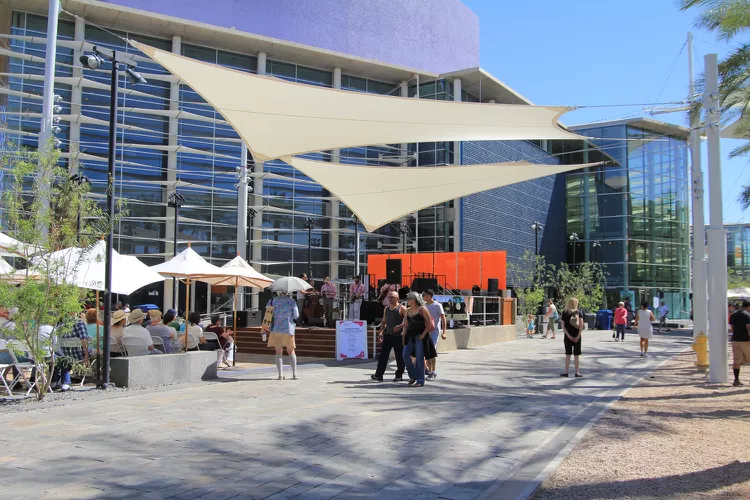
Mesa is a vibrant city located in the East Valley of Arizona and ranks as one of the most populous cities in the state. The city spans a significant area and showcases a unique blend of older districts alongside modern master-planned communities. Moreover, Mesa is home to diverse amenities such as agricultural regions, colleges, theaters, shopping malls, hospitals, and baseball stadiums that host Spring Training baseball. Additionally, the majestic Mesa Arizona Temple (The Church of Jesus Christ of Latter-day Saints) adds to the city’s cultural landscape.
In terms of transportation, the METRO Light Rail services Mesa, running from the western end of Mesa’s Main Street to downtown, making it easier for residents and visitors to navigate the city.
Travel Times and Distances
The table below provides an estimation of the distance and driving time from Mesa, Arizona, to several key cities. These estimations are derived from strategic points in each city, such as city halls, airports, or chambers of commerce. However, keep in mind that actual travel times may vary based on factors like traffic conditions, route choice, and road restrictions. It’s advisable to calculate your travel time considering different times of the day and week.
| From Mesa, Arizona to … | Distance (miles) |
Time (minutes) |
| Avondale | 32 | 38 |
| Buckeye | 51 | 59 |
| Carefree | 33 | 46 |
| Cave Creek | 36 | 47 |
| Chandler | 18 | 26 |
| Fountain Hills | 18 | 30 |
| Gila Bend | 86 | 90 |
| Gilbert | 10 | 18 |
| Glendale | 27 | 38 |
| Goodyear | 35 | 41 |
| Litchfield Park | 37 | 45 |
| Mesa | NA | NA |
| New River | 47 | 52 |
| Paradise Valley | 15 | 25 |
| Peoria | 38 | 46 |
| Phoenix | 12 | 25 |
| Queen Creek | 24 | 39 |
| Scottsdale | 11 | 21 |
| Sun City | 44 | 49 |
| Sun Lakes | 15 | 30 |
| Surprise | 47 | 55 |
| Tempe | 7 | 14 |
| Tolleson | 29 | 37 |
| Wickenburg | 82 | 91 |
| Apache Junction | 22 | 30 |
| Casa Grande | 53 | 55 |
| Florence | 51 | 56 |
| Maricopa | 35 | 42 |
| Superior | 50 | 53 |
| Bullhead City | 244 | 250 |
| Camp Verde | 106 | 103 |
| Cottonwood | 119 | 121 |
| Douglas | 233 | 236 |
| Flagstaff | 160 | 150 |
| Grand Canyon | 244 | 235 |
| Kingman | 208 | 208 |
| Lake Havasu City | 218 | 222 |
| Lake Powell | 294 | 276 |
| Nogales | 178 | 165 |
| Payson | 78 | 77 |
| Prescott | 115 | 118 |
| Sedona | 132 | 133 |
| Show Low | 167 | 173 |
| Sierra Vista | 191 | 183 |
| Tucson | 122 | 118 |
| Yuma | 199 | 189 |
| Disneyland, CA | 374 | 343 |
| Las Vegas, NV | 310 | 310 |
| Los Angeles, CA | 390 | 356 |
| Rocky Point, Mex* | 226 | 267 |
| San Diego, CA | 374 | 350 |
*Passport or Passport Card required.
All mileage and time estimates were derived from various online mapping services. Therefore, individual time/distances may vary based on specific routes and conditions.


