Summary of Hiking Catalina Island
Take a Day Hike to Find the Essence of Catalina Island
If you want to get into Catalina Island, hiking or walking is the way to do it. You can take a walk around town, enjoy a day hike or even embark on a multi-day adventure on the Trans-Catalina Trail.
Planning for a Catalina Island Hike
You don’t need a permit to walk around town, but if you’re going anywhere else, you do. Day hike permits are free and available from the Catalina Conservancy at 125 Claressa Avenue. You can get a trail map there, at the interpretive center on the way to the botanical garden, or at the airport.
It’s common knowledge to take plenty of water, sunscreen, and snacks on any hike. Based on my experience, you’ll likely need more of all three than you think.
You can find the routes for each of these hikes on Google Maps. While it would be great if each route could be a different color, Google Maps doesn’t allow that option. Rest assured, all of the routes end at Big Olaf’s Ice Cream, which makes for a nice treat after your hiking adventures.
Day Hikes Around Town: an Hour or More
This hike is my favorite route through town. You can follow it using a map or your mobile device.
Before You Get Started: What was supposed to be a “temporary” closure banning pedestrians past Lover’s Rock had been in effect for years during my last visit. If the road remains closed, take a detour through town to reach the Inn on Mt. Ada. Then return to town on the same route.
You can begin your hike anywhere along the waterfront, but the Casino Building is a convenient starting point. Your walk will take you along the waterfront through town. Be sure to look for the spunky orange garibaldi fish that hang out around the rocks in the marina. You might also spot a sea lion attempting to stow away on a sailboat.
After passing Lover’s Rock and Pebbly Beach, you’ll ascend for the best view in town, passing the Inn on Mt. Ada, which was once the home of Wrigley Chewing Gum founder William Wrigley. On the way down, you’ll come across the charming local pet cemetery. In town, you can take any street back to the waterfront.
Alternatively, you can take a side trip up Chimes Tower Road. Western writer Zane Grey once resided in the large, pueblo-style building across from the chimes tower. While it has been closed to the public for many years, you can admire it from the outside and enjoy the island’s second-best view before returning to town.
Botanical Garden Side Hike or Loop
It’s about 1.2 miles up Avalon Canyon Road to the Botanical Garden. You’ll pass the golf course and an abandoned aviary on your way. You can tour the garden and enjoy the view from the Wrigley Memorial before making your way back to town.
However, if you have the energy and fitness level, don’t stop there. Walk up the steep trail that begins on the right side of the memorial. It leads to the island’s backbone, offering expansive views in all directions at the hill’s summit.
Afterward, you can return the way you came or continue hiking along the mountains’ spine to connect with Stagecoach Road, which will take you back to town.

Hiking Catalina from the Airport in the Sky to Avalon: 9 Miles
My favorite Catalina Island hike goes from the Airport in the Sky to downtown Avalon. It covers about nine miles via the most direct route or 11 miles with a detour. The paved road descends from the island’s crest (1,600 feet) into Avalon, rising and falling over tawny hills, past Mt. Blackjack and cliffs plunging into the ocean. It’s certainly easier to go downhill than up, so I recommend calling 310-510-0143 one day in advance to reserve a space on the airport shuttle. This way, they will do the climbing while you enjoy a leisurely hike back to town.
You can grab a cup of coffee or breakfast at the Airport in the Sky, then explore the natural history exhibits outside before starting your hike.
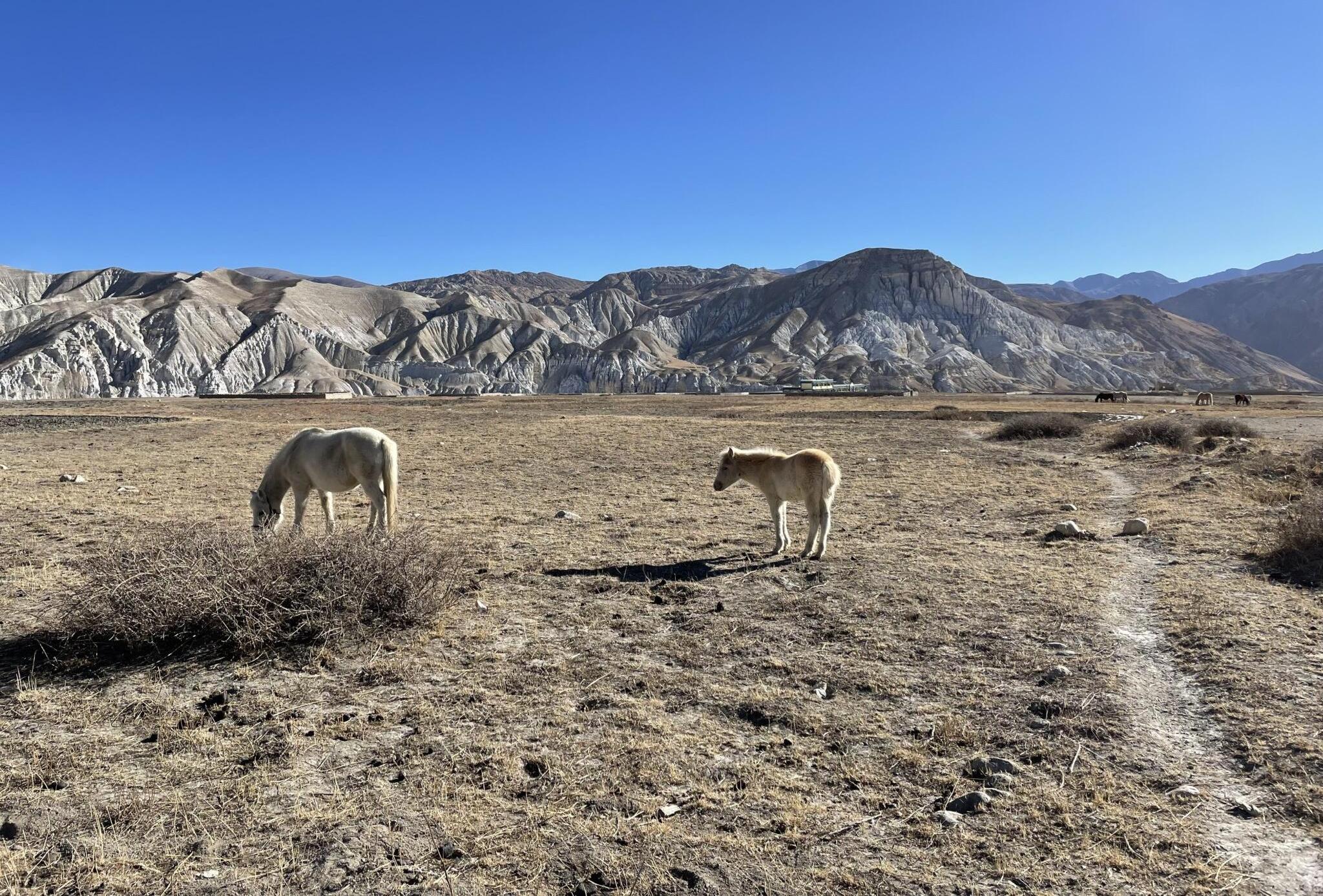
The route is user-friendly. Just follow the paved road back toward town. You’ll likely encounter some of the island’s resident bison along the way. These animals are descendants of stubborn ancestors who refused to return on the boat after their appearance in a 1920s film. The shaggy creatures snort and grunt around muddy water holes, eyeing passersby, with their tails flicking. Remember that they are wild animals who could potentially hurt you if startled.
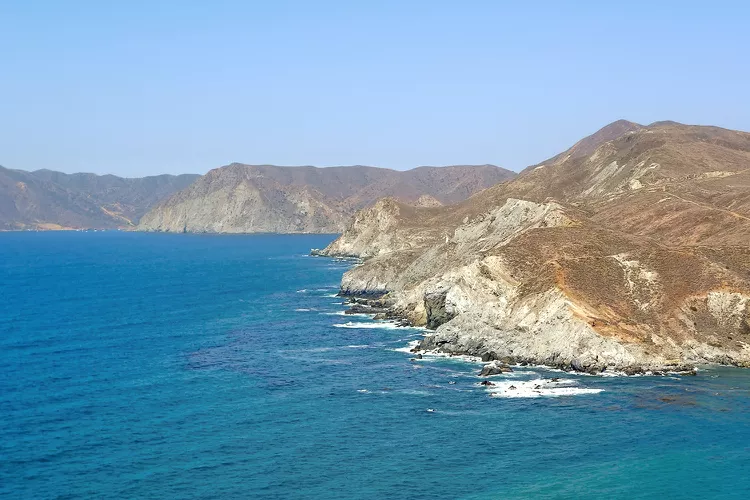
Every turn presents a new view, switching between grassy hills and coastal panoramas. The paved road allows for easy walking without concern for your footing, giving you plenty of opportunities to daydream. Waves wash against Willow Cove’s sandy beaches, and breakers crash on Frog Rock. With little traffic, people, or electric noise, the sounds of nature take over: birds calling and grass rustling.
For a longer adventure, turn right just past the Wrigley Reservoir and follow the ridgeline trail. After about two miles, you’ll reach a trail that descends into the Botanical Garden. This detour adds a little over two miles to your hike and is worth exploring.
If you prefer, stay on the paved road toward town. Civilization’s sounds return as the road reaches Zane Grey’s Pueblo and the bell chime tower at Avalon’s edge.
Hiking the Trans-Catalina Trail
For avid hikers and bikers only, the 37-mile Trans-Catalina Trail follows the backbone of the island from one end to the other.