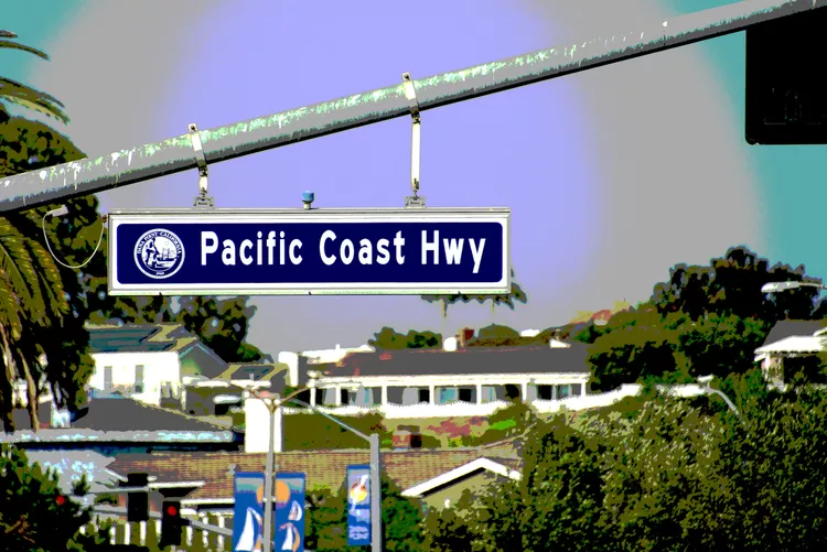
What’s Along the PCH from Dana Point to Santa Monica
Pacific Coast Highway from Dana Point to Santa Monica

The Pacific Coast Highway, also known as California State Route 1, spans a magnificent 650 miles, linking the picturesque harbor town of Dana Point in southern California’s Orange County to Leggett, California, in Mendocino County, renowned for its ancient redwood trees.
If you examine the 75-mile span from Dana Point to Santa Monica, you’ll notice that much of this segment consists of urban roads, with a typical drive taking approximately two to three hours depending on traffic conditions and the frequency of stops. In this region, the term “Pacific Coast Highway” may not conjure images of a scenic coastal route as one might expect, particularly if you envision a highway hugging the shoreline. For those seeking the classic coastal views, it would be advisable to head towards the Malibu Coast, where the iconic Pacific Coast Highway scenery truly begins.
However, if you are committed to traversing California State Route 1 from its starting point, or if you are the explorative type who enjoys discovering what’s along the way, there is an abundance of attractions to be appreciated along the Pacific Coast Highway within the Los Angeles Metropolitan area. Throughout this drive, you’ll find an array of dining options, fuel stations, and other essentials conveniently available.
Pacific Coast Highway in Orange County

Orange County serves as a suburban extension of the Los Angeles Metropolitan area. The southern starting point of the Pacific Coast Highway is marked by its intersection with Interstate 5 in Dana Point, extending 40 miles until it reaches the Los Angeles County line just north of Seal Beach.
Traveling north from Dana Point, California State Route 1 is referred to as Coast Highway through communities such as Laguna Beach and Newport Beach. Early views of the Pacific Ocean emerge in southern Laguna Beach. Newport Beach residents often prefer to live on the beach rather than merely observe it from the highway; consequently, many homes and businesses obstruct the view of the shore.
A fun alternative during your visit to Newport Beach is to take Balboa Boulevard (if heading south) or Jamboree Road (if heading north) to Balboa Peninsula and Balboa Island, and enjoy a delightful three-car ferry ride between the two points. After experiencing the charming peninsula, you can return to Coast Highway to continue your journey.
The road reverts to the name Pacific Coast Highway as you drive through Huntington Beach and Seal Beach. Upon reaching Huntington Beach, stunning ocean views become available all the way to the Los Angeles County boundary.
Pacific Coast Highway in Los Angeles County

Continuing north of Seal Beach, the Pacific Coast Highway crosses into Los Angeles County, extending roughly another 35 miles until Santa Monica.
While passing through Long Beach and Torrance, the route initially veers inland and west before it makes a northward turn through the South Bay cities of Redondo, Hermosa, and Manhattan Beach, where it adopts the name Sepulveda Boulevard.
As you approach the area surrounding Los Angeles International Airport, the highway transforms into Lincoln Boulevard as it passes through Marina Del Rey, Venice Beach, and Santa Monica. However, the majority of this stretch often limits views of the ocean. Yet, it provides insightful glimpses of southern California’s lifestyle as it meanders past car dealerships, washes, apartments, and a variety of strip malls, including some sections near Long Beach that even run adjacent to an oil refinery.
For an enhanced ocean view and a more picturesque representation of Southern California beach culture, consider deviating in South Redondo Beach. From the Pacific Coast Highway, head west on Avenue I, then turn northward, ensuring to stay as close to the shoreline as possible (utilizing Esplanade to Catalina Avenue). Following this scenic detour, you can easily return to State Route 1. Once you’ve arrived in Santa Monica, you may wish to continue driving along the Pacific Coast Highway towards Malibu, where iconic scenic vistas await, often showcased in numerous Hollywood films.
Road Map from Dana Point to Santa Monica

The illustrated map depicts the route of the Pacific Coast Highway from Orange County to Santa Monica, highlighting where stretches of the road diverge inland, moving away from the coast. For captivating oceanside views, the PCH may not always be your optimal choice when in LA County. If you aim to stay close to the water throughout your journey, it is advisable to exit the Pacific Coast Highway while in LA, navigating the roads adjacent to the shoreline. This will enable you to enjoy the vast blue expanse of the Pacific Ocean as you drive parallel to the shore.
To experience remarkably scenic driving on the PCH, consider continuing onward towards Malibu. Moreover, if you’re looking to venture farther north, a scenic drive from LA to San Francisco along the PCH is highly recommended. This picturesque route spans 440 miles and typically requires more than eight hours of travel time, so planning for at least two days to relish the breathtaking views is advisable.


