Summary
GPS Connectivity Tips for Travelers
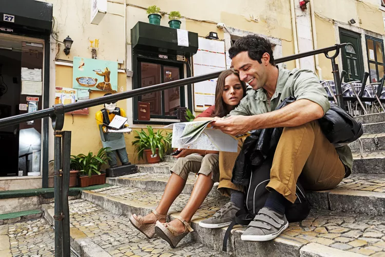
GPS connectivity with your smartphone isn’t a guarantee when traveling abroad. Therefore, the foolproof option if you plan to navigate the highways and streets while abroad is to bring along an old-fashioned paper map.
Dive into an array of the most popular maps for areas in Spain and Portugal—some of the whole country, some more detailed maps of sections or regions—that will help get you to your destination even if your phone runs out of battery.
Spain and Portugal

This map covers both Spain and Portugal and is useful for general trip planning and driving on the main highways. Moreover, the laminated cover will help keep the pages clean from road trip snacks, and the legend is offered in four languages.
Castilla Y Leon, Spain

A map that will aid in traveling to Castilla Y Leon from Madrid and the surrounding region. The Castilla Y Leon region is a popular tourist destination, located inland about three hours from the city, and includes eight UNESCO World Heritage sites.
Northern Spain

The northern regions of Spain are oft-ignored parts of the country. However, those willing to venture from the bigger cities can explore nature in Spain’s first national park, the Picos de Europa, dive into the ocean in the Bay of Biscay, and enjoy the culinary delights of the La Rioja Wine Region.
Spain Central

Finding a destination in central Spain can be quite challenging, as the city sprawl (and outlying areas) often resembles a maze rather than a grid. This detailed map for the central regions, including Madrid, Castilla-La Mancha, and Extremadura, includes both main and secondary roads, thus allowing less time hunting for an address and more time for enjoying local cuisine like paella and jamón.
Madrid, Spain

This pocket-size map of the city of Madrid focuses on details. It covers all the major neighborhoods and tourist attractions, with the street legend indicating which streets are one-way. Consequently, navigating the bustling city becomes easier, avoiding awkward turns into oncoming traffic.
Costa Brava, Spain

The Costa Brava area of Spain, also known as the Wild Coast, offers drivers a magnificent coastal trip with breathtaking ocean views. Tiny seaside villages like Cadaqués lure travelers to explore their charm along the winding roads less traveled.
Barcelona, Spain

Pack along a dry-erase pen and utilize this laminated map to plot out the routes needed to explore Barcelona’s top tourist attractions. Planning a path between the modernist Casa Batlló, the Catedral de Barcelona, and a delicious lunch along the lively Las Ramblas becomes a straightforward task.
Portugal

From International Travel Maps, this detailed map showcases settlements from large cities to quaint villages, routes from multi-lane highways to trails, as well as railways, airports, and interesting sites including museums and campsites.
Lisbon, Portugal

To assist in navigating the capital of Portugal, this map is divided into three sections: the city center and the outlying areas to the north and south. Travelers hoping to learn more of the local language will be pleased to find that street names and landmarks are marked in both Portuguese and English.


