With notoriously lousy traffic and next-to-impossible parking, driving is most definitely not the best way to get around San Francisco. Fortunately, there are plenty of other excellent ways to traverse the city.
Most locals walk, cycle, ride Muni (the public transit network of buses and streetcars), or use ride-sharing services. The city also has three cable car lines that are frequent, slow, and scenic, making riding one a must for any first-time visitor.
Explore San Francisco on Foot
Regularly ranked as one of the most walkable cities in the US, many major sights in San Francisco are reachable on foot in a day. Walking is also the best way to experience a neighborhood thoroughly.
An initiative started in 2020 sees numerous streets across the city close to vehicular traffic one or more days a week. Some streets, such as John F Kennedy Dr in Golden Gate Park, are closed to traffic indefinitely.
Numerous guided walking tours are available, but you can choose to set off on your own for an enjoyable day of exploring, especially in locales like the Presidio, which offers a variety of trails connecting the city’s neighborhoods and open spaces.

San Francisco’s Extensive Cycling Network
San Francisco aims to be the most bike-friendly city in the US, and many locals have already embraced cycling. Areas such as Ocean Beach, the Marina, and the waterfront are particularly ideal for this mode of transport.
The city boasts an extensive bike network that covers 448 miles, making many attractions accessible on two wheels. The nonprofit San Francisco Bicycle Coalition provides maps and information for cyclists.
Bike-sharing options are available throughout the city, offering traditional bikes and e-bikes (electric bikes with removable batteries) at various stations.
Tips for Using Bike Shares in San Francisco- Bikes are available without helmets; consider bringing your own for safety, especially when using e-bikes.
Using Muni for City-Wide Exploration
Muni operates bus, streetcar, and cable car lines, offering a more affordable and often quicker alternative to driving. Muni streetcars run in a subway under Market St, providing excellent connectivity to less accessible parts of the city.

Maps and Schedules
For route planning, it’s advisable to consult Transit 511. The NextMuni service syncs with GPS on buses and streetcars, providing accurate arrival estimates.
Nighttime and Weekend Service
Note that nighttime and weekend service is less frequent than on weekdays. Owl service operates only on a few principal lines.
Tickets and Costs
On buses and streetcars, single tickets can be purchased for $3, or you can use a reloadable Clipper card for a discounted fare of $2.50.
Getting Beyond the City Center
BART (Bay Area Rapid Transit) is the fastest link between downtown San Francisco, the airport, and surrounding cities like Oakland and Berkeley. Fares on BART are based on travel distance.
Utilizing a Clipper Card makes payment straightforward and efficient for both BART and other transit systems across the Bay Area.
Enjoying the Ferry System
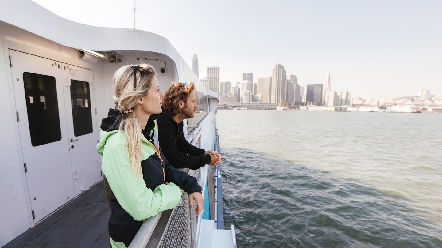
The iconic Ferry Building is a destination in its own right, boasting excellent dining options and stunning bay views, as well as ferry routes radiating across the Bay Area.
Alcatraz
Alcatraz City Cruises operate boat services to this famous landmark, with departures from Pier 33 throughout the day; reservations are essential.
Travel to the East Bay and Marin County
San Francisco Bay Ferry offers services to Oakland, Alameda, and Richmond, while Golden Gate Transit Ferries connect to Marin County, providing additional transportation options that feature scenic views.
Taxi and Ride-Sharing Options
Taxi fares start at $4.15, while popular ride-sharing services like Lyft and Uber are widely used. However, during surge pricing, traditional taxi cabs may be a more cost-effective option.
Water Transport and Ferries
The iconic Ferry Building serves as a hub for various ferry routes, making it easy to explore nearby destinations. Ferries to areas such as Oakland, Marin County, and Alcatraz are readily available.
Driving in San Francisco: What to Know
If you can, it’s best to avoid driving in San Francisco due to heavy traffic and the challenges of parking. Parking restrictions can vary significantly, so it’s crucial to pay attention to curb colors and signage.
Parking Restrictions
- Blue: Disabled parking only; placard required.
- Green: Ten-minute parking zone from 9am to 6pm.
- Red: No parking or stopping.
- White: For picking up or dropping off passengers only; note posted times.
- Yellow: Loading zone during posted times.
Accessible Transportation
Muni, BART, Caltrain, and ferries are all fully accessible. The streets in San Francisco are mostly accessible for individuals with mobility needs.
This article was first published on July 12, 2021, and updated on February 15, 2024.


