Thanks to its location in the foothills of the Rocky Mountains, the picturesque town of Boulder, Colorado is a popular destination for hikers and nature lovers. However, navigating the many stunning trails can be challenging, especially for those new to the area or less experienced in hiking.
Here are three of the best spots for full-day or half-day hiking conveniently located near Boulder. To enhance your experience, consider visiting on a weekday to avoid larger crowds.
Mt Sanitas
Mt Sanitas is a beloved local icon, situated just a 20-minute walk from downtown Pearl Street. Its diverse and well-maintained trails make it an excellent choice for beginners.
For those who are not confident in their fitness level, beginning with the easy, relatively flat 1-mile Sanitas Valley Trail or the slightly tougher Dakota Ridge Trail is advisable. This will help adjust to Boulder’s altitude of 5,300 feet (1,600 meters) while providing scenic views along the way.
More experienced hikers will want to tackle the 6,863-foot peak itself. Two main trails lead to the summit: the Mt Sanitas Trail and the East Ridge Trail. You can opt for either trail as an out-and-back hike or combine them for a loop.
The Mt Sanitas Trail spans 1.6 miles, while the East Ridge is shorter at 0.7 miles but offers a steeper ascent. Regardless of your choice, be prepared for a total elevation gain of approximately 1,300 feet, ensuring a solid workout.
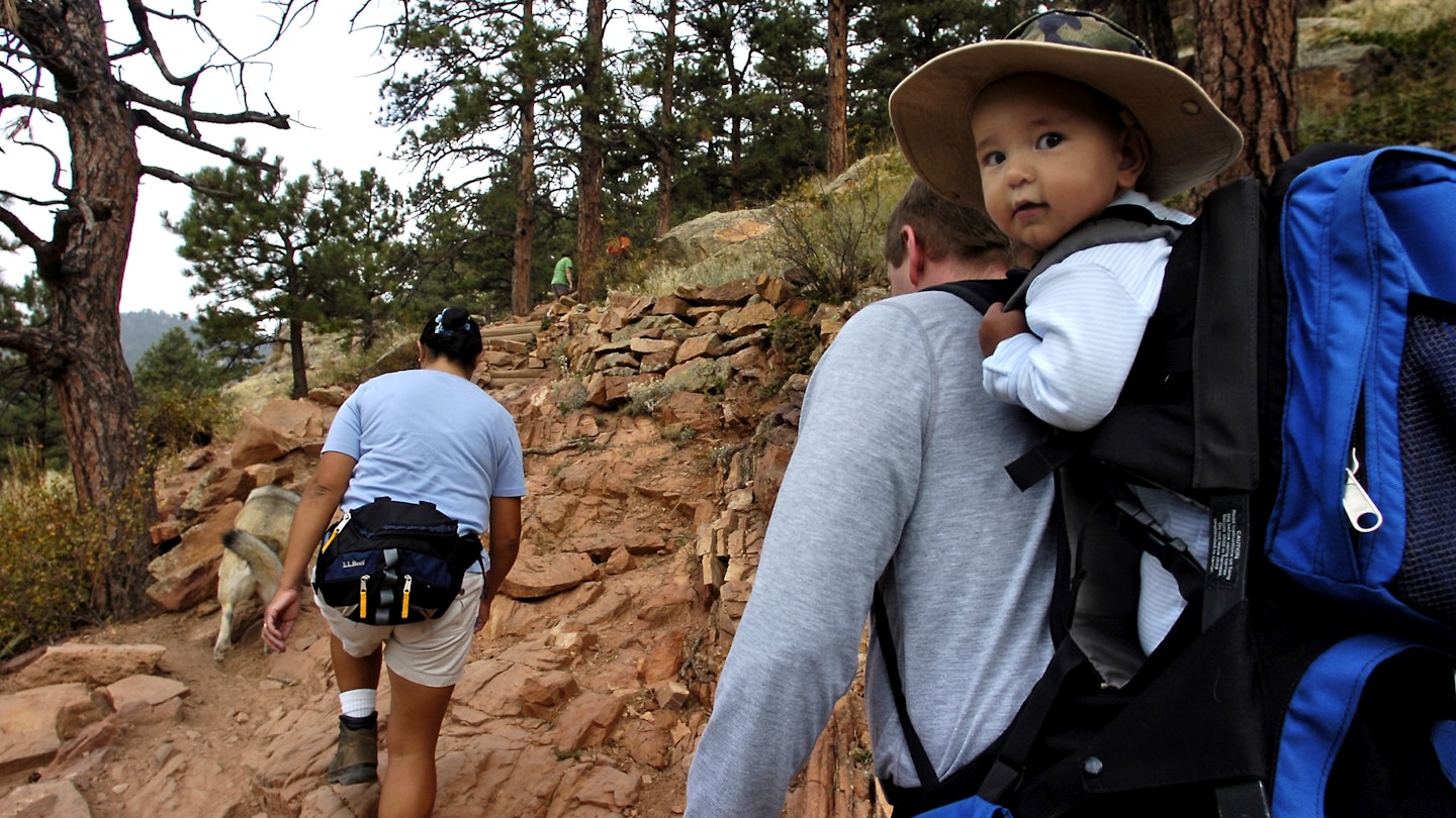
Narrow paths of reddish earth are lined with tall pines. Expect some light scrambling over rocks—steady your footing, especially during the descent. On clear days, sweeping views of Boulder and even distant Denver can be witnessed from East Ridge, while the Mt Sanitas Trail offers breathtaking glimpses of the snow-capped Rockies.
Chautauqua Park
As the gateway to Boulder’s iconic Flatirons, this expansive and stunning area provides access to an extensive network of hiking trails. These paths range from gentle forest walks to more strenuous mountain hikes, catering to various skill levels.
The easiest routes are located in the southeast section of Chautauqua, including Enchanted Mesa, Woods Quarry, and various Bluebell paths. These trails are perfect for acclimatizing to the elevation while taking in gorgeous views of the grassy plains and majestic Flatirons.
For a more challenging adventure, consider the Royal Arch trail. This out-and-back trek culminates at a striking natural sandstone archway and rewards hikers with breathtaking views of the surrounding landscape.
The round trip covers 3.2-3.9 miles, with an elevation gain of 1,400-1,500 feet. While the trail can be demanding at times, with steep sections and loose rocks, the effort will undoubtedly be rewarded. Be sure to stay hydrated and take breaks at designated rest spots.
No enthusiastic hiker can leave Boulder without experiencing the Flatirons. Chautauqua offers a fantastic 2.5-mile hike that navigates between the first and second Flatirons, providing striking views along the way.
The ascent includes rocky terrain and numerous switchbacks, bringing you close to these stunning geological formations. The trail concludes just below the first Flatiron’s tip, where you can enjoy a picnic and take in the vast Rockies in the distance.
Flagstaff Mountain
Flagstaff stands as Boulder’s fourth-highest peak at 7,283 feet and is conveniently located at the town’s edge. This mountain is unique in that it features a road leading directly to the summit, expanding the hiking options significantly.
To experience the full journey, embark on a roughly 3-mile trek from town to the summit via Viewpoint Trail, which includes a scenic switchback path to Panorama Point. The tree coverage is sparse initially, providing excellent views of Boulder right from the start.
As you continue higher, the path crosses the road several times, so be cautious of traffic. While parts of the route may be steep, it lacks technical difficulties and becomes increasingly forested.
The adventure doesn’t end at the summit; a network of trails around the top offers panoramic vistas from all directions. You can also drive to the summit or use rideshare services and explore shorter, less strenuous paths.
The Ute trail offers a pleasant forest stroll, while the Range View trail provides a stunning overlook of the distant Rocky Mountain peaks. Together, these form a 1.2-mile loop that can serve as a standalone hike or an addition to your Flagstaff journey. For those seeking a significant challenge, consider heading south to conquer the formidable 8,144-foot Green Mountain.


